

C-MAP – Reveal Inland
Original price was: $33.97.$24.06Current price is: $24.06.
21 in stock
Description
Explore Canadian Lakes with High-Precision C-MAP Reveal Inland Charts
TheC-MAP M-NA-Y216-MS Reveal Canadian Lakeschart offers an unparalleled navigation and fishing experience, combining cutting-edge cartography with intuitive features. Designed for inland waters, this chart provides a detailed view of lakebeds and riverbeds, making it an essential tool for boaters and anglers alike. With Shaded Relief, Hi-Res Bathymetry, and an Integrated Genesis Layer, users can easily identify underwater structures, reefs, and ledges for optimal navigation and fishing.
In addition to high-resolution depth details, this chart includesaerial photography, satellite overlay, and dynamic raster charts, ensuring clarity and accuracy for enhanced situational awareness. TheSubscription-Free Easy Routing™feature simplifies route planning without the need for ongoing fees, while the inclusion ofTides & Currents datafurther supports safe and efficient navigation.
With12 months of free updates, users can stay up to date with the latest chart improvements, keeping their journeys smooth and well-informed.
Advanced Cartography for Superior Navigation
- Full-Featured Vector Charts– Ensuring accurate and up-to-date waterway data.
- Shaded Relief & Hi-Res Bathymetry– Gain an ultra-detailed underwater perspective for navigation and fishing.
- Integrated Genesis Layer– Access additional contour data to refine your exploration.
- Custom Depth Shading– Set depth preferences for tailored navigation.
- Dynamic Raster Charts– Provides a classic chart feel with modern functionality.
- Aerial Photography & Satellite Overlay– Enhances recognition of coastal and inland features.
- Tides & Currents Information– Crucial data for trip planning and real-time decision-making.
- Detailed Marina and Port Plans– Easily locate docking points and facilities.
- Subscription-Free Easy Routing™– Simplifies route creation without ongoing costs.
- 12 Months of Free Updates– Stay ahead with continuous improvements and refinements.
Product Variations for Different Regions
The C-MAP Reveal Inland series covers a wide range of lakes and waterways across North America. Choose the chart zone that best fits your boating and fishing needs:
- M-NA-Y216-MS– Canadian Lakes
- M-NA-Y212-MS– US Lakes North Central
- M-NA-Y213-MS– US Lakes North East
- M-NA-Y215-MS– US Lakes South Central
- M-NA-Y214-MS– US Lakes South East
- M-NA-Y211-MS– US Lakes West
Perfect for boaters, anglers, and marine professionals, C-MAP Reveal Inland ensures a high level of detail and functionality to enhance every journey on the water.
Related products
-
- Sale!
- hot sale
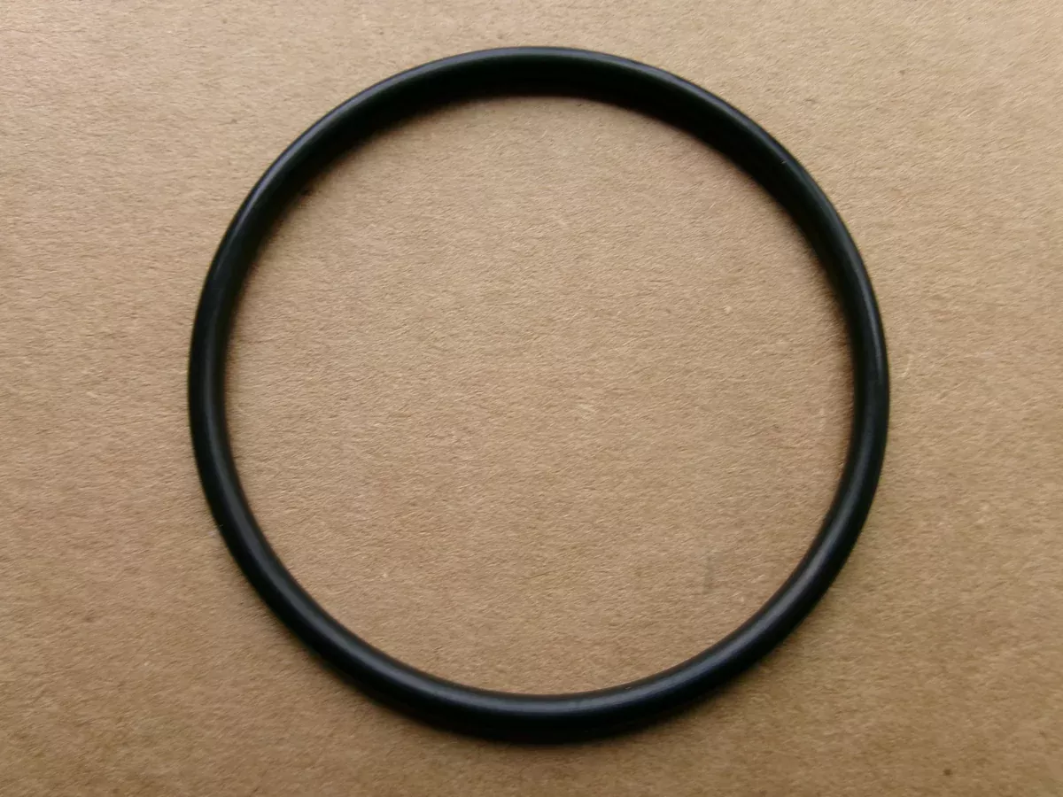
Yamaha O-Ring 65W-43865-00-00
- Original price was: $4.18.$3.16Current price is: $3.16.
- Add to cart
-
- Sale!
- hot sale
Southfork MV1552 Mod V on an Mid America JB5616/13 Trailer
- Original price was: $4,919.40.$3,776.71Current price is: $3,776.71.
- Add to cart
-
- Sale!
- hot sale
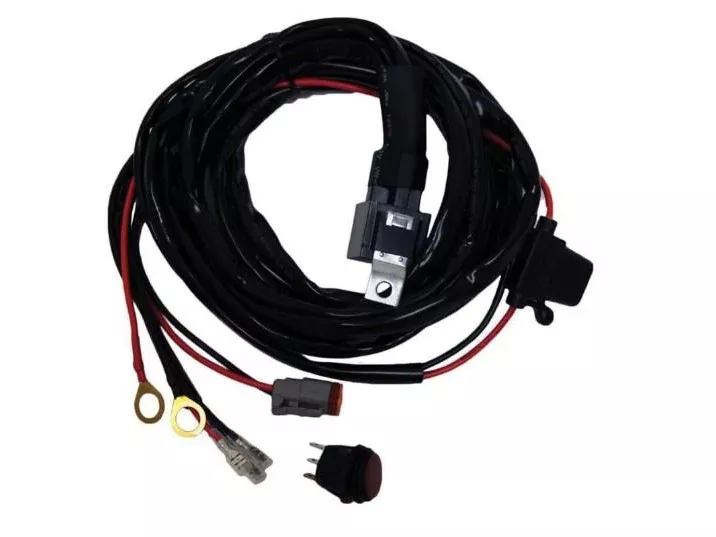
PLASHLIGHTS Wiring Harness – 120W (Up To 20″ Bar Or Equivalent ) DT
- Original price was: $19.96.$12.05Current price is: $12.05.
- Add to cart
-
- Sale!
- hot sale
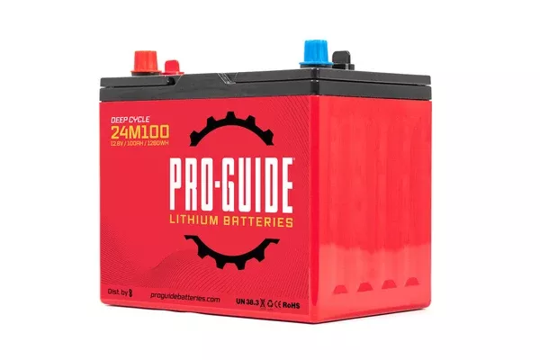
Pro Guide Lithium 24M100 Battery
- Original price was: $419.99.$284.44Current price is: $284.44.
- Add to cart
-
- Sale!
- hot sale
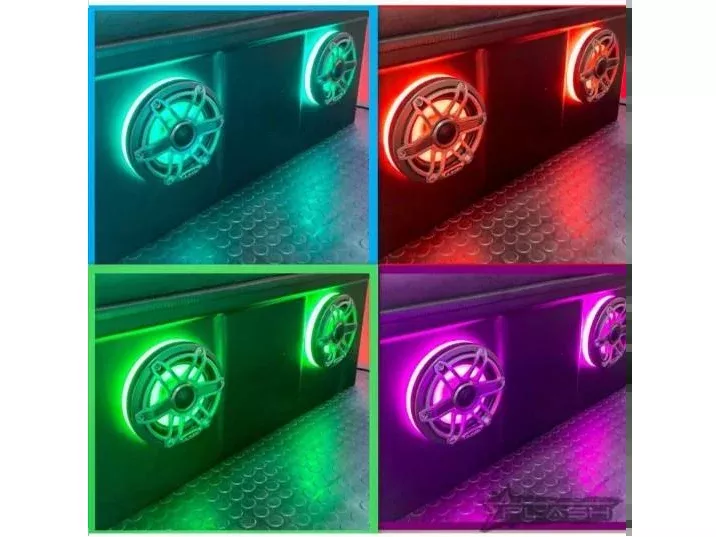
PLASHLIGHTS Multicolor LED Speaker Rings – High Output – JL Audio 12″
- Original price was: $78.28.$40.66Current price is: $40.66.
- Add to cart
-
- Sale!
- hot sale
Nasa Marine Protective Weather Cover
- Original price was: $8.80.$4.42Current price is: $4.42.
- Add to cart
-
- Sale!
- hot sale
Yak Attack BlackPak Pro Kayak Fishing Crate 13″x13″
- Original price was: $103.99.$60.34Current price is: $60.34.
- Add to cart
-
- Sale!
- hot sale
Pro Guide Lithium 31M180-DP Battery
- Original price was: $839.99.$551.89Current price is: $551.89.
- Add to cart